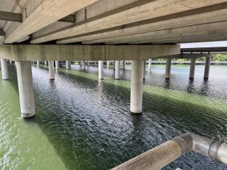
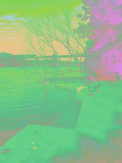
Shoal Creek is changing. At the Seaholm Intake, the water and stone hold a new role for the city. Engineers and naturalists are close to confirming a time-bending effect in the current. Short pulses move both downstream and upstream. Standing near the intake leaves people rested and clear, as if a long afternoon just ended.
This site becomes a public time commons. The cooled chambers host sensors and quiet rooms. The walkway links to Central across the water. The mycelium network listens, then routes what the creek gives: steadier attention, better recall, and a calm pace for work and care.
What to expect:
Check-in stones that log a short visit and return a focus interval
Benches that sync with the flow and guide five-minute rest cycles
A simple light on the rail that signals when the current flips
A small desk for field notes and shared observations
Open data on pulse times so neighbors can plan repairs, study, and gatherings
Invitation
Come without hurry. Sit by the intake. Let the water set your pace. Then carry that steadiness back into the city.